Table of Contents
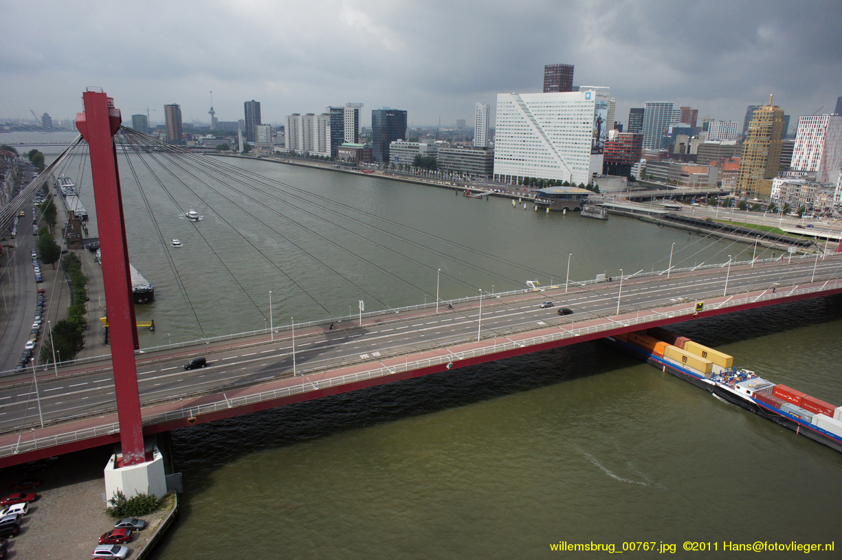
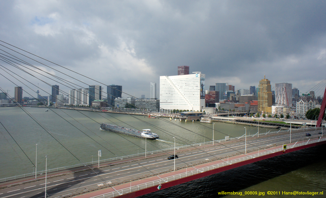
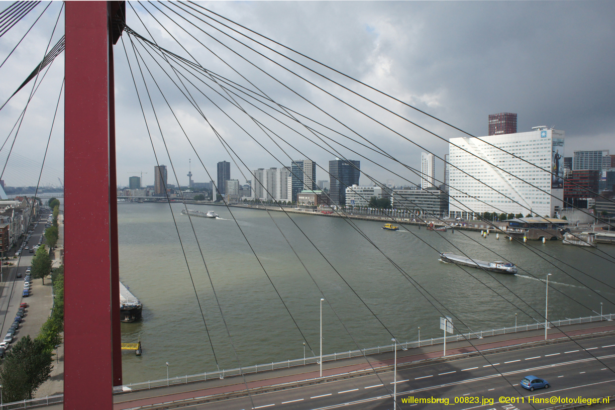
Luchtfoto's van de Willemsbrug, Rotterdam
Dit zijn luchtfoto's van de Willemsbrug in Rotterdam en zijn omgeving. Voor het nemen van deze foto's hing de camera aan de lijn van een vlieger. Het kaartje geeft de locatie van de vlieger aan.
Wikipedia: The Willemsbrug is a bridge next to the Erasmusbrug in the centre of Rotterdam, spanning the Nieuwe Maas. It links the northern part of the city with the Noordereiland and (in combination with the Koninginnebrug) the district of Feijenoord.
The Willemsbrug is a cable-stayed bridge with a total span of about 318 meters. It was completed in 1981, designed by C. Veerling and named after King Willem III of the Netherlands. It replaced an older bridge which had been opened in 1878 but was severely outdated by the time the decision was made to build a new one.
Kaart
<googlemap3 type=“map” width=“800px” height=“300px” zoom=“12” lat=“51.916804” lng=“4.497716”>51.916804,4.497716, Camera;</googlemap3>
Luchtfoto's van 5 augustus 2011
Deze serie is genomen onder een donkere en dreigende wolkenlucht. Regen is slecht voor camera die 50 m boven de Maas hangt… De kleine zonnige stukjes zorgden voor een mooie belichting!


Terug naar het overzicht..